Posts

Showing posts with the label Landscape

Beverley Place Golf Club, Mexico, Pampanga

Image
This par 71 course is built along the Candaba swamp (a nature preserve) and water comes into play in almost all holes. And bunkers too, with Boracay-like sand! It's like being in the beach! The greens on the back nine are nice and fast (the original 9 holes), but the front nine greens are very slow. It's a nice course nonetheless, with views of Mt Arayat. Wish there were more trees as it can get really hot. White sand in the bunkers. Water, water everywhere. If you play it right, ie, "dartboard golf," you can manage this course. Scored 82.:)

Punta Fuego

Image

Nasugbu-Ternate Road

Image
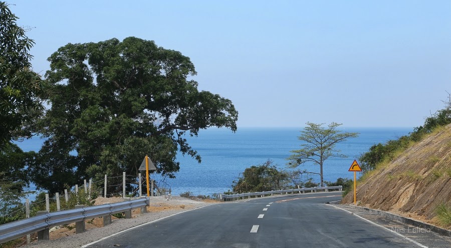
A scenic route to Pico de Loro and Punta Fuego, via the Cavite coastal road.  

Talisay, Batangas

Image
Happened to pass by Talisay, Batangas. It's the town next to Tagaytay, right beside Taal Lake. The town is preparing for its fiesta, which is on Feb 10. The San Guillermo Church, named after its patron saint. It's worth the short stop.   The altar and interior of the San Guillermo Church.   Going up to Tagaytay on the winding road, I passed by this Buko Stop, complete with a view of Taal Lake. (photos taken with an iPhone 5)  

Sunset in Manila

Image
Living in the city... another day.

Surigao City Sunrise

Image
The sun rises above Nonoc Island and Siargao. View from The Tavern. Taken with Canon EOS550D.

Hole No. 14

Image
Ayala Greenfield Golf and Leisure Club. On the rare occasion that the water is still and you can see the mountain and sky reflected on it. Hole no. 14 as viewed from the teebox of hole no. 15. (taken with Nokia N95 8/14/10)

Clark-Subic

Image
SCTEX. Just after Clark on the way to Subic. Add caption

SCTEX

Image
View along the Subic-Clark-Tarlac Expressway (SCTEX). This looks like the flow path of Mt Pinatubo's lahar.

Foggy Morning

Image
Fairway of hole no. 1. Ayala Greenfield Golf and Leisure Club

Lagos del Sol Resort

Image
Sunrise on Lake Caliraya from the Lagos del Sol Resort .

Mt. Banahaw

Image
Mt Banahaw during sunrise, as seen from Cavinti, Laguna.

Lake Caliraya

Image
Water from Lake Caliraya is used to run a hydroelectric plant. Although it's a man-made lake on top of the Sierra Madre, sunrise here is naturally inspiring.

More Countryside Scenes

Image
Family Portrait Homeward Bound Add caption

Philippine Countryside

Image
Add caption On the way from Tagaytay Midlands to Batino exit (Calamba). Mt Makiling clearly visible in the distance with the setting sun behind me. Just had to stop the car to take this shot with my cellphone.

Tagaytay Midlands

Image
The 18th hole as viewed from the Clubhouse. This has got to be the fastest green I have ever come across, and, putting against, the ball actually makes a U-turn if you don't putt it hard enough. Fantastic view though, isn't it?

Sunrise

Image
To see creation everyday...

Taal Volcano

Image
View of Taal Volcano (and Taal Lake) between Tagaytay and Talisay.

Taal Lake

Image
Taal volcano, claimed to the smallest active volcano in the world is in the middle of Taal Lake in the Philippines. Some people believe the whole lake is the actual crater of the volcano. Sunrise Livelihood under the volcano Sunset

Another Golf Course Photo

Image
Ayala Greenfield hole no. 11. Par 3, 137 yards across a hazard.